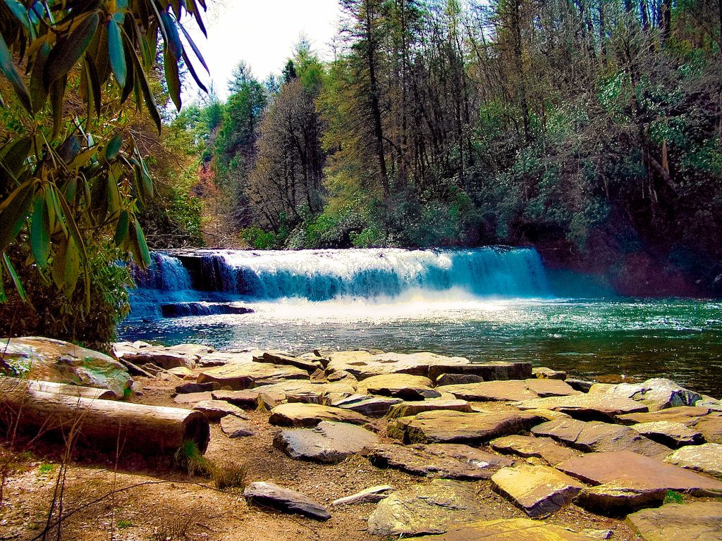
Enjoy breathtaking views of the Blue Ridge Mountains as the Art Loeb Trail makes its way from the Black Balsam Knob parking area to Shining Rock Mountain.

Chris & Mac
We outventure to help you outventure!
Support Grey Otter Outventures!
Please help us continue to bring you great content:
Scroll down for full slideshow.
Length: Up to 10 Miles Round Trip
Trailhead(s): Black Balsam Knob Trailhead
Elevation Gain: 1,148’
Trail Type: Out & Back Or Loop on Investor Gap Trail
Dogs: Allowed
Difficulty: Moderate
Permit Required? No
Considerations: Bears / Seasonal Road Closures
Season: Year Round
Overview
ART LOEB TRAIL TO SHINING ROCK GAP
Black Balsam Knob
Black Balsam Knob to Tennent Mountain and Shining Rock Gap
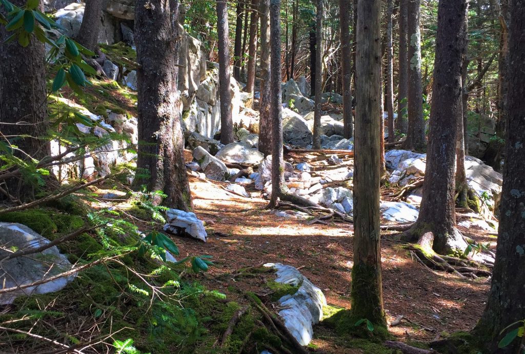
After descending Black Balsam Knob, the trail passes through rolling hills with grassy expanses, stands of balsam, fir, and mountain laurel. The trail is further graced with ferns, rhododendron, wild blueberries, and wildflowers. Such is the incredible beauty of the Shining Rock Wilderness. It is breathtaking, and on full display on the Black Balsam Knob route to Shining Rock. If hiking in late May or early June, rhododendron blooms add amazing color and are an eye candy treat.
Upon reaching the top of Tennent Mountain after nearly 2 miles on the trail, hikers get a distant glimpse of the white summit of Shining Rock. The delightful nature of this trail continues as it passes by Grassy Cove Top and Flower Knob until it reaches Shining Rock Gap. Here is where we depart the Art Loeb Trail. At Shining Rock Gap take the trail on the right leading towards Old Butt Knob Trail to make the final ascent through evergreens to the amazing white quartz rocks of Shining Rock Mountain.
SHINING ROCK MOUNTAIN
OPTIONAL RETURN VIA INVESTOR GAP TRAIL
A NOTE OF CAUTION
Scroll down to learn about the GEAR WE USE and OTHER OUTVENTURES in this area.
Additional Information
Shining Rock Slideshow
(Click image to expand.)
Gear We Use for Day Hiking
To see descriptions of the gear Chris & Mac use for day hiking, as well as links to manufacturers and retailers offering the gear for sale, please CLICK HERE.

Articles About Other Regional Outventures
SAFETY DISCLAIMER: The activities discussed in this website are outdoor activities and, as such, have inherent risks to which participants are exposed. It is not the intent of this website, nor is it possible due to the variability of weather, terrain, equipment, and experience, to detail all of those risks. The information contained in this site is informational, but not instructive nor exhaustive. It is the sole responsibility of the user to ensure he/she is in good health, fully prepared, and fully informed as to dangers before undertaking any of the activities discussed in this website and the user does so at his/her own risk. The user understands that by using this website he/she acknowledges and accepts all risks associated with use of information from this website and participation in any particular activity addressed herein. Please see “Terms of Use” for additional information.
Want to share this article with your friends? Click on the share button below:
Want more?
Get the latest outventure updates by following us on social media . . .


