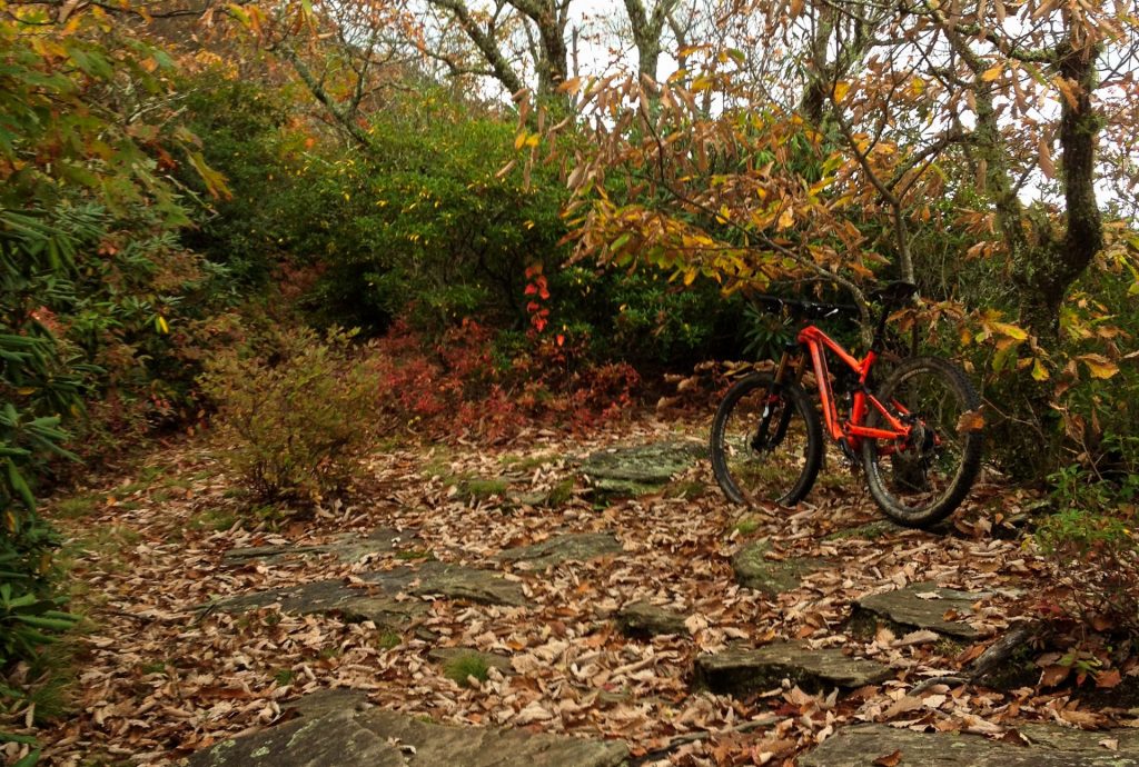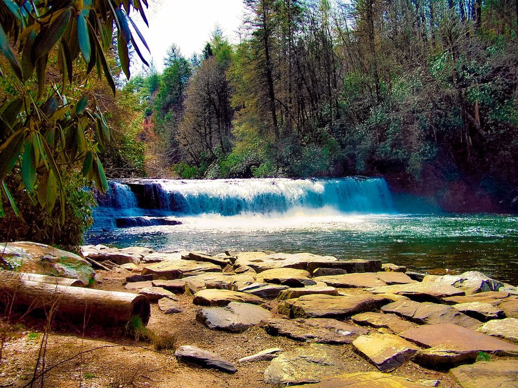
Mountain biking the Black Mountain Trail in Brevard, North Carolina is a tough, technical ride. But for those with the skills, it’s a burly blast!
Chris & Mac
We outventure to help you outventure!
Support Grey Otter Outventures!
Please help us continue to bring you great content:
Scroll down for full slideshow.
Length: Trail – 7.2 Miles One-Way; Circuit – Option One 12.5 Miles , Option Two Approx. 15 Miles
Trailhead(s): Pisgah Ranger Station Visitor Center
Elevation Gain: Trail – 2,700′; Circuit – Option One 2,795′, Option Two Approx. 3,450′
Trail Type: Point to Point or Circuit
Dogs: Allowed on Leash, but Leave the Pooch at Home for this One
Difficulty: Expert
Permit Required? No
Considerations: Expert Only Ride, Heavy Climbing, Hike-A-Bikes, Technical Downhill
Season: Year Round – Spring, Summer, Fall Preferred
Overview
Before we go any further, let’s be clear – mountain biking the Black Mountain Trail is an expert only ride. I would not normally start an article this way, but you need to understand this is a tough, technical ride. I make this point because many mountain bikers who come to the Asheville/Brevard area want to ride to ride this trail, but it is not for everyone. If you have the skills, however, this ride is a burly blast!
Now, although it is possible to ride up the Black Mountain Trail from the bottom, I do not recommend it unless you are a masochist or a pro level rider. The first time I rode this, we rode up the trail from the bottom. It was no fun. The climb is brutal and I would rather spend more time in the saddle and less time carrying my bike.
The best way to approach this trail is to bike down Highway 276 a short ways from the parking area and go right on Avery Creek Road. Avery Creek is a gravel road that intersects Clawhammer Road (also gravel). Take a right on Clawhammer and ride it until it ends at the Black Mountain Trail at Buckhorn Gap*. The climb is not too bad, but based on your conditioning and climbing skills it will take between 1 and 1.5 hours to climb to Buckhorn Gap.
At this point there are two options for riding this trail. Most riders pick option one, which will save you up to a one hour hike-a-bike. Option two, however, offers a fantastic pay-off if you are willing to put in the effort and, yes, pain.
Option one is to turn right when you reach the Black Mountain Trail at Buckhorn Gap and begin descending. Most of the mountain bikers I have spoken with about this trail select this option. Not only does this option allow you to miss the most technical part of the trail, it also saves you a pretty brutal hike-a-bike. (Just how brutal? See option two below.) The downside to this option is it will cut-off a good chunk of the trail and you will miss the fantastic views from the top of the mountain. If you are like me and really love highly technical riding, you will also miss out on some challenging tech.
Option two is to take a left at Buckhorn Gap and start climbing the Black Mountain Trail. Before you reach the summit, you will encounter a mandatory hike-a-bike. I’m not going to mince words, the climb is brutal. It takes about one hour and rather than pushing your bike, you will have to carry it a good part of the way. The pay-off, however, is outstanding. I note this because there is no way I am going to put in the type of effort needed to get to the top without a heck of a pay-off. In this case, your efforts will be rewarded with sweeping views of the Blue Ridge Mountains, including Looking Glass Rock, and a ripping, technical downhill which is a ton of fun. If you are willing to put in the effort, you will definitely be rewarded.
Mountain biking the Black Mountain Trail is a true Pisgah National Forest mountain biking experience. It’s a rocky, rooty, rutted, often wet, and epic ride if you have the skills. Mountain bikers come from all over to hit this trail. If you want a serious, iconic ride and you are up to the challenge, make sure this one is on your list for your next visit to western North Carolina. Shred on!
*Note: There are other possible routes involving more mileage for this ride, although I have not done them. For additional options, follow this link to see the Black Mountain “Ride Logs”: Ride Logs Trailforks.com
Scroll down to learn about the GEAR WE USE and OTHER OUTVENTURES in this area.
Additional Information (Click below to follow links.)
Trailforks Interactive Trail Map:
Black Mountain Slideshow
(Click image to expand.)
Gear We Use for Mountain Biking
To see descriptions of the gear Chris & Mac use for mountain biking, as well as links to manufacturers and retailers offering the gear for sale, please CLICK HERE.

Articles About Other Regional Outventures
SAFETY DISCLAIMER: The activities discussed in this website are outdoor activities and, as such, have inherent risks to which participants are exposed. It is not the intent of this website, nor is it possible due to the variability of weather, terrain, equipment, and experience, to detail all of those risks. The information contained in this site is informational, but not instructive nor exhaustive. It is the sole responsibility of the user to ensure he/she is in good health, fully prepared, and fully informed as to dangers before undertaking any of the activities discussed in this website and the user does so at his/her own risk. The user understands that by using this website he/she acknowledges and accepts all risks associated with use of information from this website and participation in any particular activity addressed herein. Please see “Terms of Use” for additional information.
Want to share this article with your friends? Click on the share button below:
Want more?
Get the latest outventure updates by following us on social media . . .


