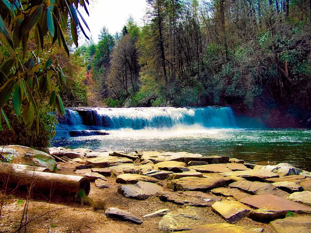
Located just outside Asheville, NC, Bent Creek’s mountain bike trails offer a great taste of Pisgah National Forest without the need to journey into the backcountry.

Chris & Mac
We outventure to help you outventure!
Support Grey Otter Outventures!
Please help us continue to bring you great content:
Scroll down for full slideshow.
Length: Varies Depending on Route; 66 Trails in System
Trailhead(s): Numerous – Choose Based on Desired Route
Elevation Gain: Varies Depending on Route
Trail Type: Trail System
Dogs: Allowed, but Must be Leashed
Difficulty: Beginner to Expert, Depending on Trail
Permit Required? No
Considerations: Often Damp, Beware of Wet Roots
Season: Year Round, but Spring, Summer, Fall (Preferred)
Overview
Located just outside Asheville, North Carolina, Bent Creek’s mountain bike trails offer a great taste of Pisgah National Forest without the need to journey into the backcountry. The trail systems boasts 66 trails with a total mileage of 57 miles. The system offers something for everyone, with trails ranging from beginner to expert.
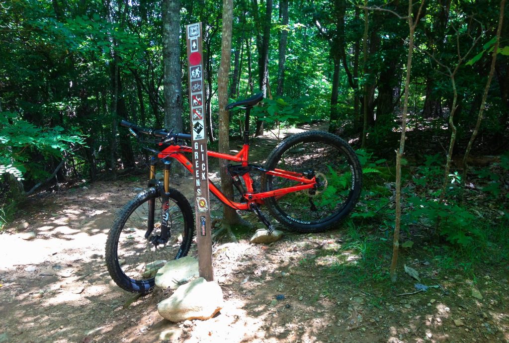
Bent Creek’s mountain bike trails are often rocky and rooty, which is standard in Pisgah National Forest. That said, there are some great beginner trails for those new to mountain biking and beginner’s can ride the myriad of gravel roads in the system. There are also plenty of intermediate trails for those with appropriate skills. Although the system is primarily geared to beginner and intermediate riders, with 22 beginner trails and 20 intermediate trails, there are also 3 expert trails. My favorite expert trail in the system is Green’s Lick. It’s a bomber downhill with jumps and plenty of technical challenge. When combined with other trails in the system, it will provide any expert with a great day of riding. Keep in mind too, that the variety of trail difficulties in this system enables groups who have members with varying skill sets to all ride in the same location, so it is a great choice for those looking for a system everyone can ride.
Mountain bikers should not let the amount of lower level trails in the Bent Creek system fool them into believing that Bent Creek is not a challenging place to mountain bike. This is Pisgah, afterall, and what is considered beginner here may have a higher trail rating in other parts of the country. The riding here can be burly, so keep that in mind when sampling Bent Creek’s mountain bike trails. It is also a good idea to have a basic plan for your route, because there are many intersecting trails and one can get turned-around. Poor route selection can result in more elevation gain than you wanted, so use a trail app such as Trailforks to keep yourself on track and having a blast.
I am a big fan of Bent Creek’s mountain bike trails and have ridden there many times. The system’s proximity to Asheville, coupled with the variety and burly nature of its trails make for a great introduction to riding in Pisgah National Forest. Make sure to put this system on your list if you visit the Asheville area. I hope you will enjoy it as much as I do!
Scroll down to learn about the GEAR WE USE and OTHER OUTVENTURES in this area.
Additional Information (Click below to follow links.)
Trailforks Interactive Trail Map:
Bent Creek Mountain Biking Trails Slideshow
(Click image to expand.)
Gear We Use for Mountain Biking
To see descriptions of the gear Chris & Mac use for mountain biking, as well as links to manufacturers and retailers offering the gear for sale, please CLICK HERE.

Articles About Other Regional Outventures
SAFETY DISCLAIMER: The activities discussed in this website are outdoor activities and, as such, have inherent risks to which participants are exposed. It is not the intent of this website, nor is it possible due to the variability of weather, terrain, equipment, and experience, to detail all of those risks. The information contained in this site is informational, but not instructive nor exhaustive. It is the sole responsibility of the user to ensure he/she is in good health, fully prepared, and fully informed as to dangers before undertaking any of the activities discussed in this website and the user does so at his/her own risk. The user understands that by using this website he/she acknowledges and accepts all risks associated with use of information from this website and participation in any particular activity addressed herein. Please see “Terms of Use” for additional information.
Want to share this article with your friends? Click on the share button below:
Want more?
Get the latest outventure updates by following us on social media . . .


