Length: 6 Miles
Trailhead(s): GPS Coordinates: 43°46’42.6″N, 122°24’07.9″W
Elevation Gain: 1,525’ (3,798′ Descent!) – My Readings
Trail Type: Shuttle/Point to Point
Dogs: Allowed
Difficulty: Intermediate
Permit Required? No
Considerations: Best Ridden as a Shuttle, Information in this Article Assumes a Shuttle
Season: Spring, Summer, Fall
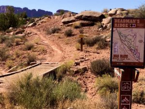
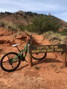
Overview
As with most rides in Oakridge, Oregon, the Upper Dead Mountain Trail is an absolute blast to mountain bike. With outstanding views at the top, excellent flow in the upper section, and fast, relatively straight singletrack in the lower section, what is not to love! Better yet, you get a 3,800′ descent with only 1,525′ of climbing. If you visit Oakridge, make sure to ride this trail!
The Upper Dead Mountain Trail is generally done as a shuttle ride. It is possible to ride to the start of the trail, but it is a long climb, whether on roads or dirt. Except for those who are in to serious climbing, everyone else rides this as a shuttle. If you don’t have someone who will drop off your crew at the top, there are a couple of shuttle companies in Oakridge that will bring you to the start for a fee.
Regardless of how you get to the start, you will begin with a short 1/4 mile gravel road climb to get to the summit of Dead Mountain. Follow this access road to its end and look for a small path leading to a point on the summit. This stretch is extremely narrow with drop-offs on both sides, so when you get to the path, leave your bike and walk out to the tip for amazing views of the Oakridge area (see pictures below).
After you enjoy the views, walk back to your bike and get ready for some real fun. Connected to the access road is singletrack (the Dead Mountain Summit Trail) that will loop you down to where the Upper Dead Mountain Trail begins. At this point, check your brakes because you are about to descend almost 3,300′ over the next 5.4 miles!
The top section of the Upper Dead Mountain Trail has excellent flow and bermed switchbacks to let you keep your speed. This is an intermediate trail, so experts can really let’er rip. Those with intermediate skills can also fly down this section, but will want to take it easy in the turns.
The lower section of the Upper Dead Mountain Trail also has excellent flow, but the straights are longer, allowing you to really lay off the breaks. Just make sure to control your speed coming into the turns. Enjoy the ride as you fly through heavily wooded forest. Before you know it you will reach the bottom.
The total ride is fast, but hugely satisfying. There is nothing quite like the feeling of blazing down a mountain on a mountain bike. The Upper Dead Mountain Trail allows you to hit that note. Make sure you ride this trail if you go to Oakridge and I know you will have a ton of fun!
Scroll down to learn about the GEAR WE USE and OTHER OUTVENTURES in this area.
Additional Information
- Trailforks Interactive Trail Map Link:
https://www.trailforks.com/route/dead-mountain-shuttle-with-detour-to-viewpoint