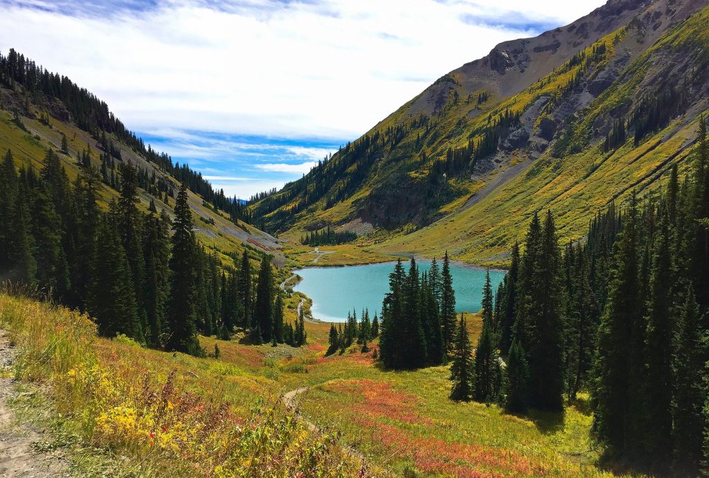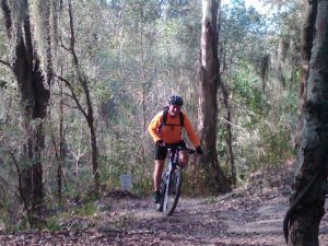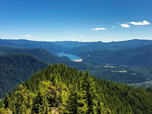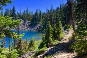
The Crested Butte Trail 401 Loop is not only a blast to mountain bike, the views are gorgeous and the descent is 2,360′ of singletrack bliss.
Chris & Mac
We outventure to help you outventure!
Support Grey Otter Outventures!
Please help us continue to bring you great content:
Scroll down for full slideshow.
Length: 15.8 Miles
Trailhead(s): Judd Falls/Cooper Creek Trailhead
Elevation Gain: 2,272’
Trail Type: Loop
Dogs: Allowed
Difficulty: Intermediate
Permit Required? No
Considerations: Elevations are 9,585′ to 11,340′; Steep Climb at High Altitude
Season: Late June/Early July to October
Overview
The Crest Butte Trail 401 Loop is not only a blast to ride, the views are gorgeous and the descent is 2,360′ of singletrack bliss. You will work for this nirvana, however, as you will be climbing a total of 2,272′ at elevations between 9,585′ and 11,340′. But if you’re up for the challenge, you will be rewarded with a ride that will sweetly play over and over in your mind for years.
Trail 401, by itself, is an 8 mile trail with a descent of 2,360′. When combined with the dirt road ride up Gothic Road to the start of Trail 401 at Schofield Pass, the combined loop is 15.8 miles. There is no sugar coating it, the ride to the top at an elevation of 11,340′ is tough. When I rode this, everyone who I encountered on the way up (myself included) were continuously on and off the bike taking short breaks or pushing their bikes up hill. At a lower elevation, the climb would not be so strenuous and most experienced climbers would ride straight up. At elevations over 10,000′, however, only those well acclimated to the elevation can make the climb without breaks, but it is worth the pain.
Most of the climb to the top of Trail 401 is in thick tree cover. Once you come out of the trees, the views blow open giving you sweeping views of the Elk Mountains. At this point almost all of the hard work is done. Stop here and catch your breath, high five your group, take some pictures, and get ready for a ton of fun. Now the descent begins.
During the descent you will be on a ribbon of singletrack that runs along the hillside of Mount Bellview with seemingly endless wildflowers around you. In front of you the views of the valley below are outrageous! Honestly, this is an amazing experience as you drop down towards the valley below with mountains all around you.
Continuing your descent, you will all too soon reach the Rustler Gulch Trailhead. Look for the sign in the parking area marking the continuation of Trail 401 and strap on for the lower section.
The lower section of Trail 401 is not as pretty as the upper, but is fun to ride. You will have about 500′ of climbing over the next 1.4 miles, before you begin the 1.3 mile final descent back to the Judd Falls/Cooper Creek Trailhead. The trail throughout this lower section is somewhat more technical than the upper section and has a drainage area with shale rock fall. The trail is still rideable for most intermediate riders and the drainage section can be walked if you are uncomfortable riding it. Enjoy this final descent as you work your way back to your car.
When you reach the Judd Falls/Cooper Creek Trailhead and your car, you will be pumped having ridden an amazing trail. I truly loved riding the Crested Butte Trail 401 Loop and will make a point of riding it any time I am in the area. My guess is you will too. Have fun!
Scroll down to learn about the GEAR WE USE and OTHER OUTVENTURES in this area.
Additional Information
- Trailforks Interactive Trail Map Link:
https://www.trailforks.com/trails/trail-401
- Crested Butte Mountain Bike Association:
https://crestedbuttemountainbike.com
Trailforks Interactive Trail Map:
Crested Butte Trail 401 Loop Slideshow
(Click image to expand.)
Gear We Use for Mountain Biking
To see descriptions of the gear Chris & Mac use for mountain biking, as well as links to manufacturers and retailers offering the gear for sale, please CLICK HERE.
SAFETY DISCLAIMER: The activities discussed in this website are outdoor activities and, as such, have inherent risks to which participants are exposed. It is not the intent of this website, nor is it possible due to the variability of weather, terrain, equipment, and experience, to detail all of those risks. The information contained in this site is informational, but not instructive nor exhaustive. It is the sole responsibility of the user to ensure he/she is in good health, fully prepared, and fully informed as to dangers before undertaking any of the activities discussed in this website and the user does so at his/her own risk. The user understands that by using this website he/she acknowledges and accepts all risks associated with use of information from this website and participation in any particular activity addressed herein. Please see “Terms of Use” for additional information.
Want to share this article with your friends? Click on the share button below:
Want more?
Get the latest outventure updates by following us on social media . . .


