Length: 41.8 miles in System
Trailhead(s): Tsali Trailhead
Elevation Gain: Varies Based on Chosen Route
Trail Type: Trail System
Dogs: Allowed but Must be Leashed
Difficulty: 2 Beginner & 9 Intermediate Trails
Permit Required? No
Considerations: Trail Schedule Alternates – See Schedule Link Below, $2 Use Fee, Camping Available
Season: Year Round – Spring, Summer, & Fall Preferred
Overview
Tsali’s mountain bike trails are fun, fun, fun! There is really nothing hectic here, as there are no expert trails. There is, however, over 40 miles of singletrack with fun downhills, beautiful views, and climbing that will not bust your lungs. Tsali is always on our list when we are in western North Carolina and it should be on yours as well.
The Trails
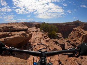
Tsali’s mountain bike trails are almost all singletrack and are mostly non-technical. Seeing as this is the North Carolina mountains, however, there are rocks and roots, but the trails are pretty buff by NC standards and you can shred as fast as your skills allow.
If you ride at an expert level, don’t let the mostly intermediate nature of these trails fool you into believing you should skip Tsali. If you love to ride, you will enjoy this system as much as any of the more challenging systems. There is plenty of climbing and fast descents, and the nature of the trails allows for high mileage in the saddle.
The main trails are the Right Loop, Left Loop, Mouse Branch, and Thompson Loop. All of them are rated as intermediate and all of them are great to ride. That said, most first time riders focus on the Right and Left loops. Together, these loops offer 16.8 miles of singletrack and make for an excellent ride. Note that it is not necessary do both loops, however, as there is a gravel road that can be accessed where the two loops meet, so a shorter ride on just one of the loop sides can be done.
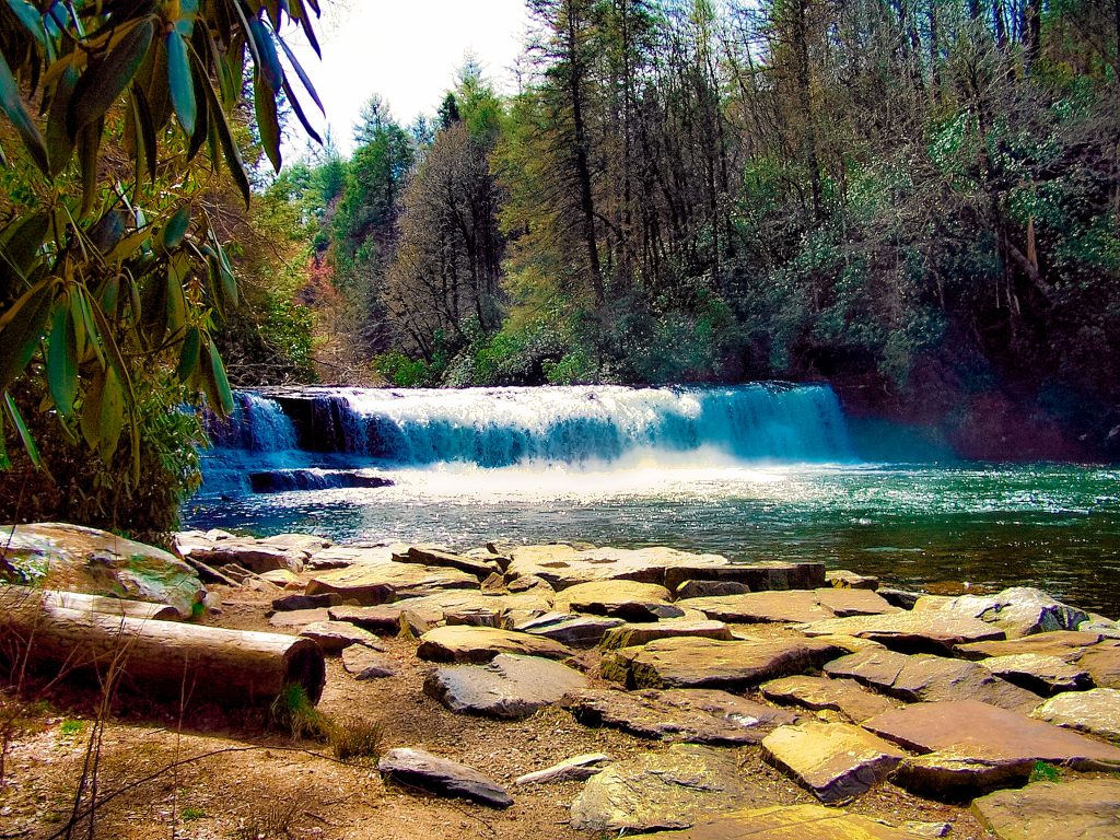
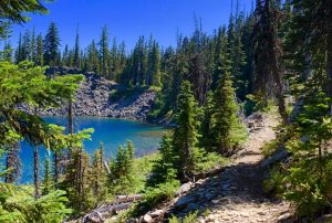
The most picturesque riding will be found on the Right, Left, and Mouse Branch trails which all flow along Lake Fontana. Make sure you do not miss the overlook side trails on these main trails, as the views are outstanding.
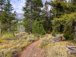
Thompson Loop is the least picturesque of the trails, with only limited views of the lake, but offers some solid forest riding, some stream crossings, and gravel roads. If you have the time, or if you have been to Tsali before, Thomson is worth a look. If not, we would stick to the Right, Left, and Mouse Branch trails.
Some Logistics
The U.S. Forest Service alternates access to Right, Left, Mouse Branch, and Thompson loops on particular days. They do this so that horseback riders and mountain bikers are not using the same trails on the same days. The schedule is also altered based on time of the year. You can view the schedule by following the link below where “Trail Schedule” is indicated. We recommend you plan your visit to Tsali based on the schedule so you can ride the trails you want when you arrive.
Conclusion
Tsali is truly a fantastic mountain biking destination. It is on most mountain biker’s hit list when they are in western North Carolina. The views of the Smoky Mountains and Fontana Lake alone make it worth the trip, but when you get there you will find the riding to be a blast. If you are visiting Asheville, Brevard, or further west in North Carolina, we highly recommend you put Tsali on your ride list. If you do, we bet you will want to come back again and again. Enjoy!
Scroll down to learn about the GEAR WE USE and OTHER OUTVENTURES in this area.
Additional Information (Click below to follow links.)