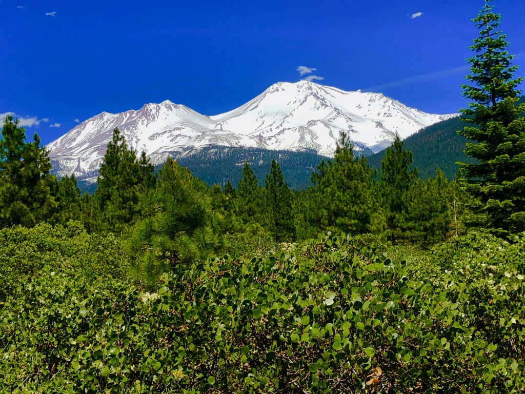
Grab your gear and discover stunning landscapes while backpacking the Cispus Pass Loop in Washington’s Goat Rocks Wilderness.

Chris & Mac
We outventure to help you outventure!
For us, outventuring isn’t just about adventure. It’s about the quiet moments — the first light on a ridgeline, the sound of a creek at camp, the shared laughter when the trail gets spicy. We believe the outdoors enriches people’s lives, and we want to help more folks experience that connection. Learn more about us HERE.
Scroll down for full slideshow.
Length: 29.2 miles (with Side Trips)
Trailhead: Walupt Lake
Elevation Gain: 5,730’
Trail Type: Loop
Dogs: Allowed
Difficulty: Moderate
Permit Required? No
Considerations: Mosquitoes through Mid-August
Season: Late Spring to Early Fall
Overview
Nestled in the heart of Washington’s Gifford Pinchot National Forest, the Cispus Pass Loop offers a breathtaking backpacking adventure through the Goat Rocks Wilderness. Beginning at the serene Walupt Lake, this route includes captivating destinations such as Nannie Ridge, Sheep Lake, Cispus Pass, Goat Lake, Goat Ridge Trail, and Chambers Lake.
Starting Point for the Cispus Pass Loop: Walupt Lake
Walupt Lake serves as the perfect starting point for the Cispus Pass Loop. Renowned for its crystal-clear waters and tranquil surroundings, it’s an ideal spot to gear up and begin your adventure.
Leaving the Walupt Lake Trailhead, take the Nannie Ridge Trail. At 2.55 miles up the trail, take the .5 mile spur trail to the left and climb to the top of Nannie Peak for some great views.
Return back to the Nannie Ridge Trail to continue the Cispus Pass Loop.
Nannie Ridge: Ascending to Panoramic Views
The Nannie Ridge Trail initially winds up Nannie Ridge, a challenging ascent that rewards hikers with panoramic views of the surrounding forests and mountains. As you climb, the dense forest gradually opens up, revealing stunning vistas.
Sheep Lake: A Tranquil Oasis on the Cispus Pass Loop
Next on the Cispus Pass Loop, you’ll reach Sheep Lake. The lake is a serene spot perfect for a break or an overnight camp. The peaceful waters reflect the beauty of the surrounding peaks, providing a picturesque backdrop for relaxation.
Sheep Lake is at the junction of the Nannie Ridge Trail and the Pacific Crest Trail (PCT). After enjoying the lake, return to the Nannie Ridge Trail and take a left on the PCT at the junction.
Cispus Pass
Continuing on the Cispus Pass Loop, the PCT leads to the top of Cispus Pass. Here, you’ll be treated to awe-inspiring views of the surrounding valleys and peaks. The pass is a great spot for photography enthusiasts to capture the grandeur of the Cascade Range.
Goat Lake: A Hidden Gem on the Cispus Pass Loop
After descending from Cispus Pass, you will begin to climb again until the junction of the PCT and the Snowgrass Trail. Take a left and follow the Snowgrass Trail for .5 miles and you will reach an unmaintained trail. The trail is at the spot where the Snowgrass Trail takes a hard left.
After .17 miles the unmaintained trail reaches the Lily Basin Trail. Take a right.
The Lily Basin Trail climbs to Goat Lake, a hidden gem nestled amid the rugged terrain. The pristine waters and alpine meadows make it a perfect spot for a leisurely break or a refreshing swim.
Note that many target Goat Lake to camp, but there is no shelter from the sun and the lake can be crowded. If you prefer a more peaceful camping experience, look left about .8 miles from where you started the Lily Basin Trail and you will see an awesome campsite on a hill about 600 feet from the trail.
Goat Ridge Trail: A Scenic Ridge Walk
Leaving Goat Lake, you will reach the highest point in the Cispus Pass Loop just before reaching the junction with the Goat Ridge Trail. Continue straight when you reach the Goat Ridge Trail.
The Goat Ridge Trail offers a scenic ridge walk with panoramic views of the surrounding wilderness. This section of the loop is known for its vibrant wildflower displays during the summer months, adding a splash of color to your hike.
Enjoy the views as you descend towards Chambers Lake and make sure to take the spur Goat Ridge Lookout Trail to the right 2.57 miles down the Goat Ridge Trail. The spur has two viewpoints and circles back to the Goat Ridge Trail. The views are outstanding.
Chambers Lake
As you approach the end of the Cispus Pass Loop, you’ll reach Chambers Lake. Chambers is a peaceful lake but is surrounded by tall grass, making access somewhat limited.
Adjacent to the lake is the Chambers Lake Campground. The campground makes a good spot for a last camp before returning to your vehicle at Walupt Lake. The campground is first come, first serve and costs $15 a night.
Returning to Walupt Lake to Complete the Cispus Pass Loop
The Cispus Pass Loop concludes as you make your way back to Walupt Lake, completing your adventure.
The easiest way back to Walupt from Chambers Lake is to walk .8 miles on Chambers Lake Road until you reach the Klikitat Loop Trail. Take a right here and follow the trail to the Coleman Weedpatch Horse Trail, which exits from the Coleman Weedpatch Trailhead. Take the Colman trail to the Walupt Horse Camp. From here, follow the Walupt Horse Trail to the Walupt Lake Trailhead and your vehicle.
Concluding Thoughts About the Cispus Pass Loop
The Cispus Pass Loop is a testament to the pristine beauty of the Goat Rocks Wilderness in Gifford Pinchot National Forest. From the panoramic views of Nannie Ridge to the serene waters of Goat Lake, this loop offers a diverse and enriching backpacking experience.
Pack your gear, lace up your boots, and set out on this unforgettable journey through one of Washington’s hidden gems. The Cispus Pass Loop awaits your exploration. Hike on!
Scroll down to learn about the GEAR WE USE and OTHER OUTVENTURES in this area.
Additional Information (Click below to follow links.)
Cispus Pass Loop Slideshow
(Click image to expand.)
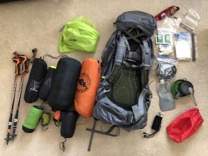
Gear We Use for Backpacking
To see descriptions of the gear Chris & Mac use for backpacking, as well as links to manufacturers and retailers offering the gear for sale, please CLICK HERE.
Articles About Other Regional Outventures
SAFETY DISCLAIMER: The activities discussed in this website are outdoor activities and, as such, have inherent risks to which participants are exposed. It is not the intent of this website, nor is it possible due to the variability of weather, terrain, equipment, and experience, to detail all of those risks. The information contained in this site is informational, but not instructive nor exhaustive. It is the sole responsibility of the user to ensure he/she is in good health, fully prepared, and fully informed as to dangers before undertaking any of the activities discussed in this website and the user does so at his/her own risk. The user understands that by using this website he/she acknowledges and accepts all risks associated with use of information from this website and participation in any particular activity addressed herein. Please see “Terms of Use” for additional information.
Want to share this article with your friends? Click on the share button below:
Want more?
Get the latest outventure updates by following us on social media . . .